—————————–October 2022———————————
WHO Information Network for Epidemics x Vision for future surveillance (STAG-IH 2022)
Video of Prof. Maria A Brovelli speech at the “Future Surveillance: A Renewed Approach to Epidemics and Pandemics of the Strategic and Technical Advisory Group on Infectious Hazards (STAG-IH) annual meeting October 2022 Licenza Attribuzione di Creative Commons (riutilizzo consentito)
—————————–August 21st 2022———————————
State of the Map 2022 (21-Aug-2022)
In occasione di State of the Map 2022, che si è svolto a Firenze dal 19 al 21 agosto 2022, i volontari di OpenStreetMap raccontano cos’è il progetto e perché è importante coinvolgere e condividere idee con le comunità di tutto il mondo. SOTTOTITOLI IN ITALIANO DISPONIBILI Scopri il progetto OpenStreetMap: http://www.openstreetmap.org Scopri di più sulla comunità italiana di OpenStreetMap: https://osmit.it/ Musiche: Skinny Leonard di Audionautix è un brano concesso in uso tramite licenza Creative Commons Attribuzione 4.0. https://creativecommons.org/licenses/ Mumford & Sons Inspired by Hyde – Free Instrumentals https://soundcloud.com/davidhydemusic Creative Commons — Attribution 3.0 Unported— CC BY 3.0 https://creativecommons.org/licenses/ Music provided by Music for Creators https://youtu.be/5shSBRjyeiI Licenza Licenza Attribuzione di Creative Commons (riutilizzo consentito)
—————————–July 6th 2022———————————
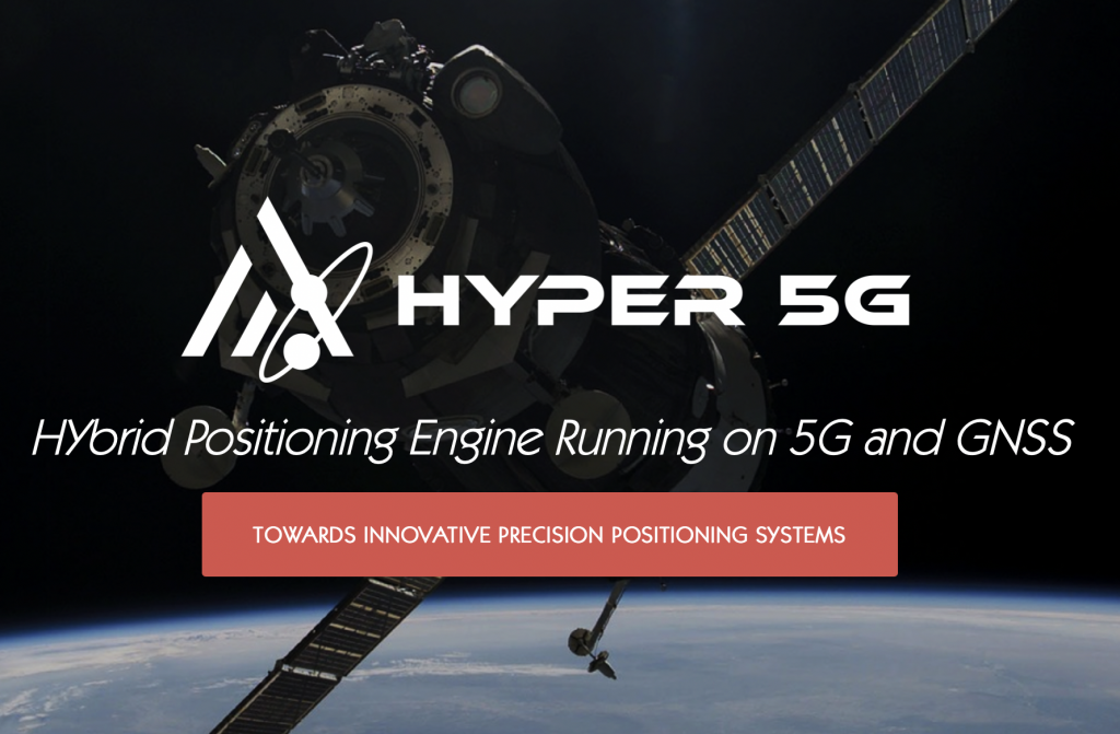
GEOlab is proud of being partner of the HYper-5G project.
Funded by ESA in the framework of the NAVISP program, the project is leaded by the POLIMI spin-off GReD, and involves two POLIMI interdepartmental laboratories (GEOlab and IoTLab) and algoWatt spa.
Click here for more details.
—————————–May 31st 2022———————————
GEOlab invites you to the following TWIGA-h2020 webinar:
Atmospheric water vapor monitoring:
GNSS, SAR and NWP models to enhance the predictions of heavy rains in sub-Saharan AFRICA
which will be held next June 10th, 2022.
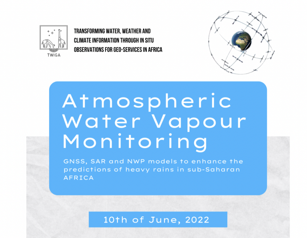
Click here for more information and to register
—————————–March 13th 2022———————————
Find the video of the seminar held Alessandro Paravano:
Delving into the Next Generation EU Space Programmes: the value of Copernicus and GNSS
at the following link

—————————–March 11th 2022———————————
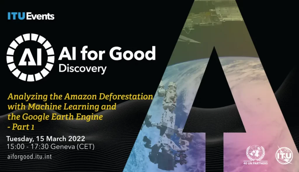
GEOlab invites you to follow the workshop:
‘Analysing the Amazon Deforestation, with Machine Learning and the Google Earth Engine’
which will be held on Tuesday 15 March 2022.
Click here for more info
—————————–February 24th 2022———————————
GEOlab invites you to the following seminar by Alessandro Paravano:
Delving into the Next Generation EU Space Programmes: the value of Copernicus and GNSS
which will be held on-line, next March 10th at 6 pm, at the following link.
—————————–February 18th 2022———————————
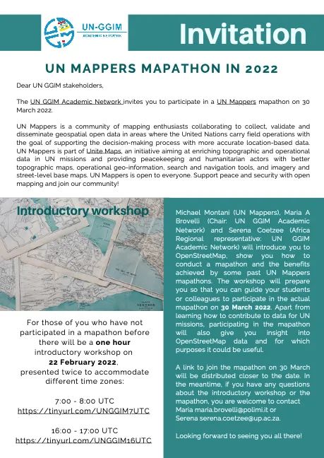
GEOlab is involved in the UN MAPPERS MAPATHON, which will be held next March 30th, 2022.
An introductory workshop has been organised next February 22nd for those who have never taken part to such mapathons before.
The workshop will last 1 hour and will be presented twice at the following links:
7:00-8:00 UTC and 16:00-17:00 UTC
—————————–February 18th 2022———————————
GEOlab is involved in a new course of the Politecnico PhD School:
The Copernicus green revolution for sustainable development
Links to the course recorded sessions are available here.
—————————–February 7th 2022———————————
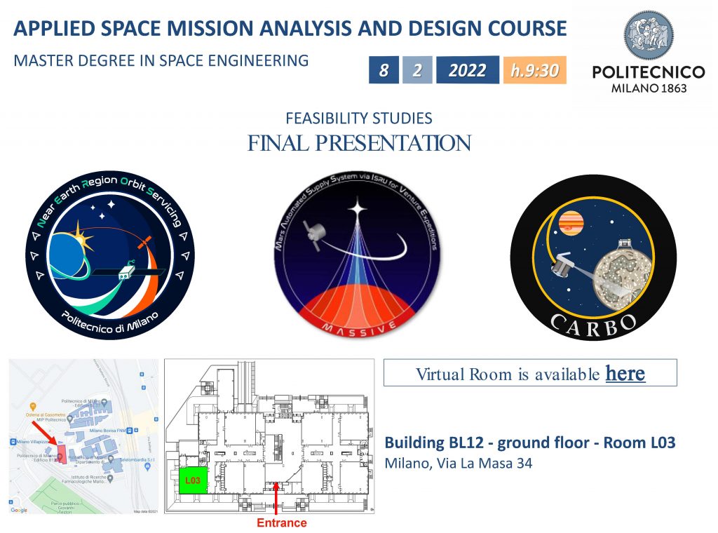
Aerospace Science and Technology Department is honoured to invite you to attend the Final Presentations day of the feasibility studies
click here for more information
—————————–January 29th 2022———————————
GEOlab invites you to the trans-disciplinary doctoral course “The Copernicus green revolution for sustainable development” .
The course introduces the next generation of European professionals and researchers to Copernicus potentialities in many different fields.
Click here for more information
—————————–January 29th 2022———————————
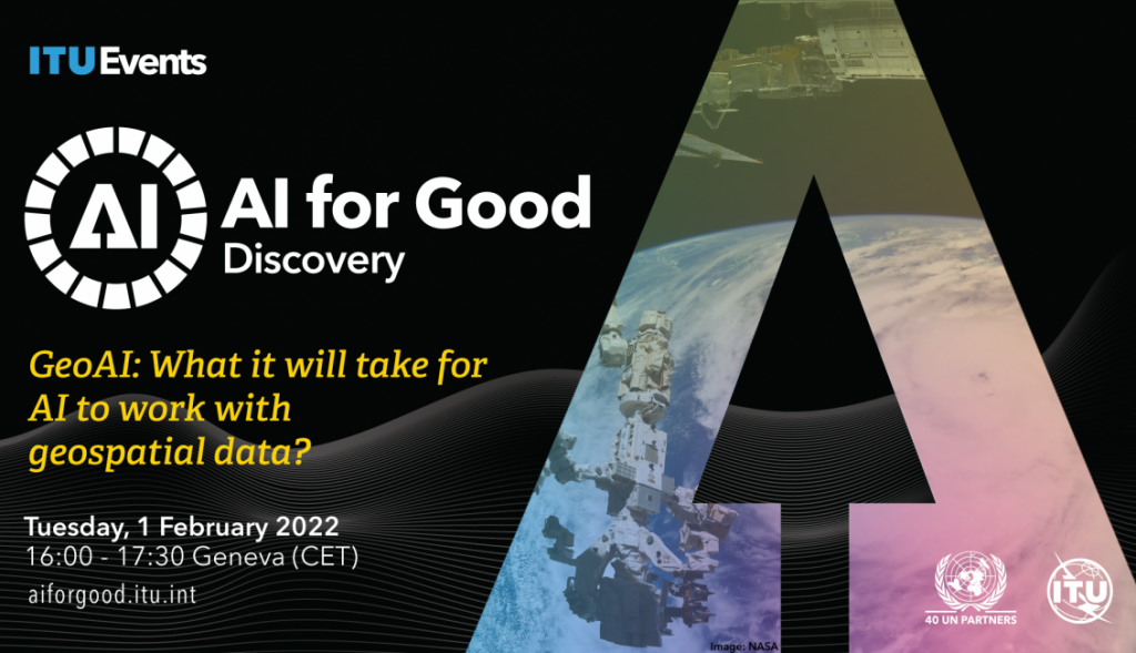
AI for Good is pleased to launch its new GeoAI Discovery Series on the applications of geospatial AI and the relevance of GeoAI to the Sustainable Development Goals. The three curators for this series, Nadine Alameh, Maria Brovelli and Barbara Ryan will kickstart, alongside ITU, the series by discussing its objectives, structure and relevance, and the benefits to the global community by accelerating the outreach and impact of GeoAI.
Click here for more information
—————————–January 29th 2022———————————
GEOlab invites you to the IJGI Webinar | The Rise of Artificial Intelligence for Space Applications, which will be held on-line next February 24th, 2pm (CET).
More info at he following link
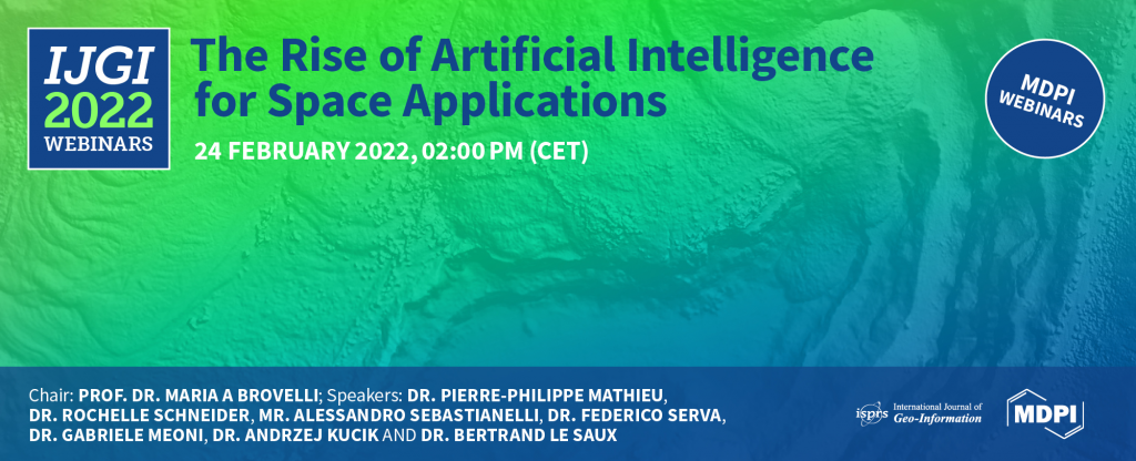
Click here for more information
—————————–December 3rd 2021———————————
GEOlab invites you to the Open Workshop on Landslide Monitoring
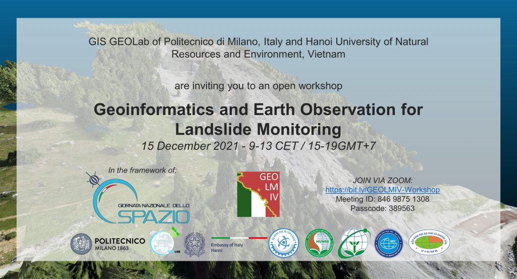
Click here for the workshop agenda
—————————–December 1st 2021———————————
INSUBRIPARKS: PROMUOVERE I PARCHI IN RETE
Public meeting on the INSUBRI.PARKS Interreg project: Recent development and results
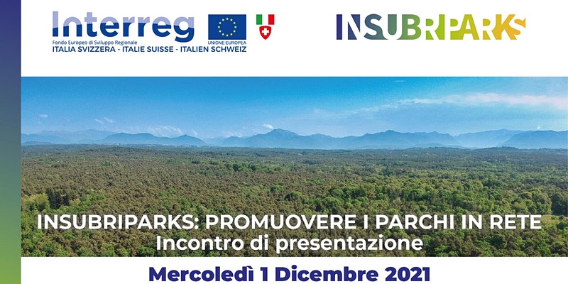
Click here for more information and to register for the event.
——————————October 6th 2021———————————–
LAMPO – final event
the presentations are now on-line
click here to select and download them
——————————September 23rd 2021——————————
LAMPO – final event
GEOlab invites you to the LAMPO project final event, which will be held on Thursday, September 30th 2021.
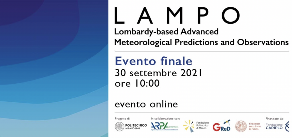
Click here for more info
——————————September 7th 2021——————————-
FOSS4G-IT 2021
On Septemebr 20th and 21th, 2021, GEOlab will host the Milan hub of the FOSS4G-IT 2021 conference, organized by the Associazione Italiana per l’Informazione Geografica GFOSS.it and Wikimedia Italia.
Click here for more information.
——————————-February 24th 2021——————————–
Collaborative and Humanitarian Mapping 2021
A new POLIMI ‘Passion in Action’ course, coordinated by Prof. Maria Antonia Brovelli, will be held from March 5th to May 21st.
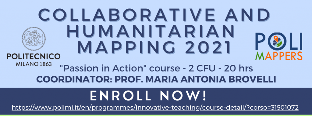
Click here for more information.
——————————-February 18th 2021——————————–
GEOlab is involved in a new course named Copernicus Uptake within the PHD PROGRAM IN ENVIRONMENTAL AND INFRASTRUCTURE ENGINEERING
Links to the course recorded sessions are available here.
——————————-February 15th 2021——————————–
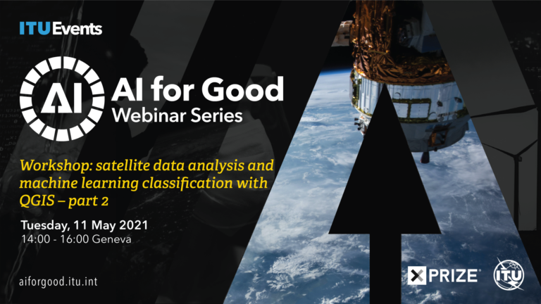
On April 27th 2021 and May 11th 2021 Prof. Maria Antonia Brovelli and Geolab fellow dr. Gorica Bratic will give an on-line Workshop on Satellite data analysis and machine learning classification with QGIS.
These workshops are included in the Artificial Intelligence (AI) for Good series, the leading action-oriented, global & inclusive United Nations platform on AI. The Summit is organized all year, always online, in Geneva by the ITU with XPRIZE Foundation in partnership with over 35 sister United Nations agencies, Switzerland and ACM. The goal is to identify practical applications of AI and scale those solutions for global impact.
More info at the following links:

——————————-December 11th 2021——————————-
Prof. Antonia Maria Brovelli Chair of UN-GGIM Academy network
The UN-GGIM Academic Network is a coalition of recognized universities, research institutes and education centers involved in research, development and education on geospatial, land information and related matters. Politecnico di Milano is one of the italian members of the Academy together with Università la Sapienza di Roma and IREA CNR. The Academy is run on a volunteer basis with the primary goal of supporting the UN-GGIM Committee of Experts on Global Geospatial Information Management. This Committee of Experts represents the apex intergovernmental mechanism of United Nations for making joint decisions and setting directions with regard to the production, availability and application of geospatial information within national, regional and global policy frameworks. The UN-GGIM Academic Network aims to assist the Committee with the development and management of global geospatial information and promote its use to address key global challenges. Among the main functions of the Academy it is worth reminding:
– to provide academic counsel and guidance to UN-GGIM concerning strategic knowledge, research, education and training;
– to provide a forum for coordination and dialogue among academics and researchers from the geospatial information management community
– to encourage members to undertake work that is able to contribute to the Sustainable Development Goals of the UN
– to undertake activities that foster collaboration between universities and research groups at an international level
More info at the following link http://ggim.un.org/UN-GGIM-Thematic-Groups/
——————————-November 19th 2020——————————-
GEOlab fellows are finalists at the Farming by Satellite Prize of the European Global Navigation Satellite System Agency
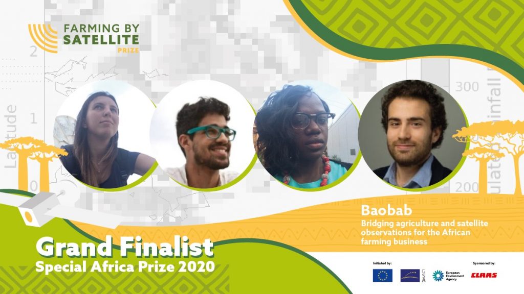
The Prize rewards young innovators exploring the use of satellite technologies to improve agriculture and reduce environmental impact
——————————-November 18th 2020——————————-
Workshop COPERNICUS at POLIMI
Politecnico di Milano, the Copernicus User Forum and the Italian Academy network announce the workshop ‘Copernincus and the smart management of urban areas’. The workshop will be held in Milano next November 18th -19th.