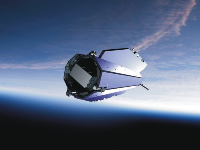
GEOlab team shares its expertise in research fields mainly devoted to the definition monitoring and representation of the Earth surface as well as to the atmosphere layers close to it. Aerospace people play a key role for satellite mission planning and control according to requirements of sensors used for the Earth observation. Strategic and business impacts of Earth Observation applications and related value added services is also assessed by the group within the emerging “Space Economy” framework.
- GRAVITY – GEOlab activities comprehends satellite gravity data analysis for the definition of the global Earth gravity field then exploited for the definition of a global height datum and for the reconstruction of the Earth crust inner layers.
read more
- GNSS – A lot of activities are connected to the Global Navigation Satellite Systems (GNSS): establishment and monitoring of reference systems, deformation monitoring, navigation, troposphere water vapor retrieval.
read more
- GIS and WEBGIS – The group’s geodetic background on the Earth’s surface mapping has naturally developed in Digital Terrain Models (DTM) analysis and manipulation and in the implementation of Geographical Information Systems able to archive, manage and represent fields and their time evolution. read more
- VGI and CITIZEN SCIENCE – The new Web 2.0 technologies and the non stop-spread of mobile devices, equipped with stable Internet connection and multiple sensors (e.g. the camera and the GNSS), have transformed all people into potential providers of geographic information.
GEOlab people is working on user participation in Geographic Information Systems.
read more